-
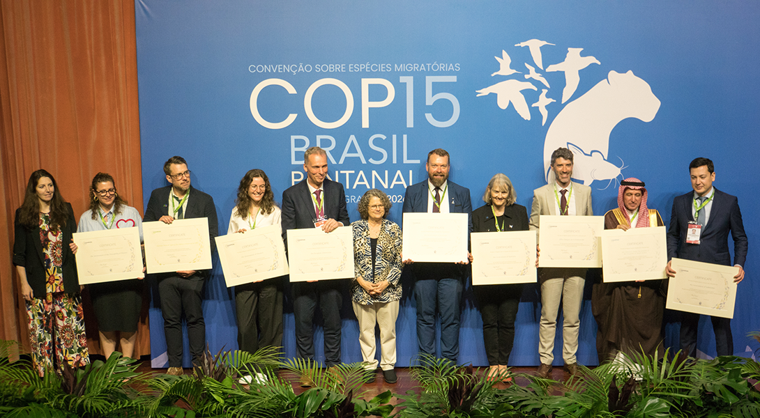
CMS Migratory Species “Champion”
Strengthening Conservation of Marine Migratory Species Protecting migratory marine species and their critical habitats through regional cooperation across the ROPME Sea Area. Overview ROPME has been recognized as a CMS Champion Plus for its initiative “Strengthening Conservation of Marine Species and their Habitats in the ROPME Sea Area (2026–2028).” The initiative strengthens science-based regional cooperation
-
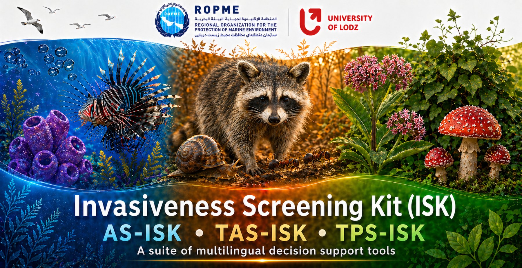
ROPME Invasive Species
Invasiveness Screening Kit (ISK) v3 A free Microsoft Excel-based decision-support platform integrating AS-ISK, TAS-ISK and TPS-ISK for screening non-native species and calibrating risk outcomes across aquatic organisms, terrestrial animals and terrestrial plants. The ISK v3 toolkits ISK v3 preserves the three toolkit-specific screening protocols while integrating them within the v3 software environment. Aquatic Species Invasiveness
-
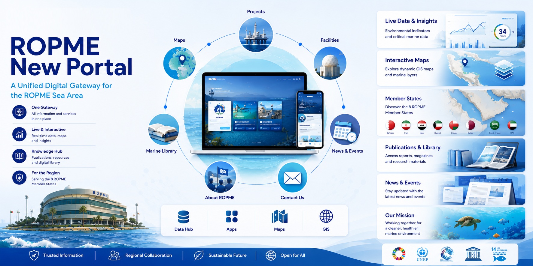
ROPME New Portal
One Portal. One Ecosystem. Endless Possibilities. The new ROPME Portal is the Organization’s next-generation digital gateway, bringing together marine data, knowledge, applications, maps, and environmental intelligence into a single modern platform. Designed for Member States, researchers, decision-makers, partners, and the public, the portal transforms how marine environmental information is accessed and shared across the ROPME
-
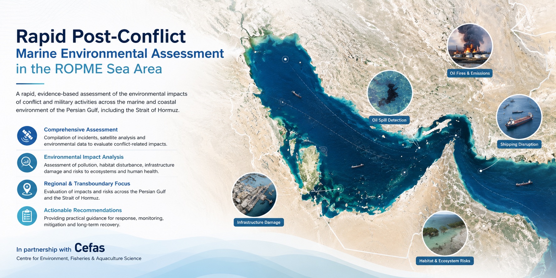
Environmental Impacts of the Regional Conflict
Rapid Post-Conflict Marine Environmental Assessment in the ROPME Sea Area Overview The Rapid Post-Conflict Marine Environmental Assessment in the ROPME Sea Area was implemented by ROPME to assess the environmental consequences of regional conflict and military activity across the marine and coastal environment of the region. The project provided an early evidence-based understanding of conflict-related
-
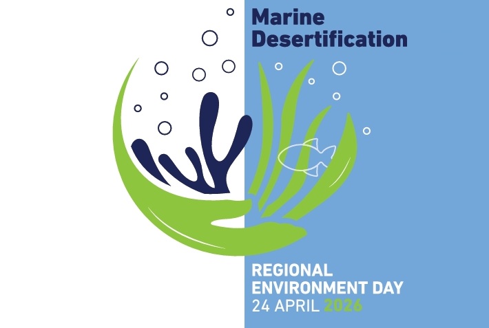
Marine Desertification
“A growing threat to marine ecosystems, biodiversity, and the communities that depend on them.“ What is Marine Desertification? Marine desertification is the rapid degradation of productive marine ecosystems, transforming them into nutrient-poor areas with low biodiversity. Similar to desertification on land, it results in the severe loss of marine vegetation and biological resources, reducing the
-
Environmental Celebrations | World Oceans Day
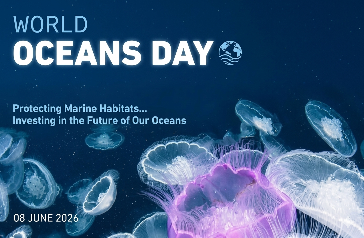
Celebrating World Oceans Day 2026 Protecting Marine Habitats: An Investment in the Future of Our Oceans On 8 June 2026, the Regional Organization for the Protection of the Marine Environment (ROPME) joins the global community in celebrating World Oceans Day. Together, we reaffirm a vital truth: our oceans are a living asset that sustains all
-
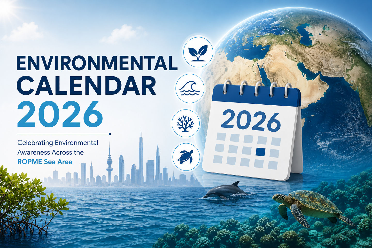
ROPME Environmental Calendar
Celebrating Environmental Awareness Across the ROPME Sea Area The ROPME Environmental Calendar brings together major international, regional, and national environmental observances throughout the year. It serves as a reference for important occasions dedicated to the protection of marine and coastal ecosystems, biodiversity conservation, climate action, sustainable development, environmental education, and the celebration of the environmental
-
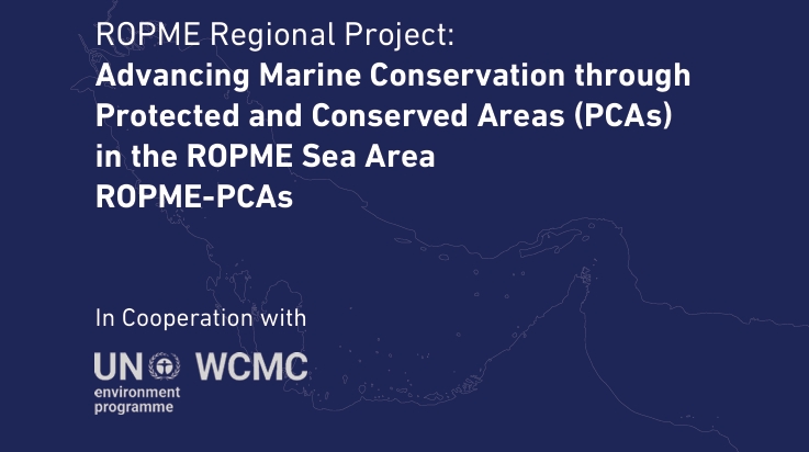
Protected and Conserved Areas
Advancing Marine Conservation through Protected and Conserved Areas (PCAs) “A regional initiative to strengthen marine conservation, improve protected area management, and support biodiversity targets across the ROPME Sea Area.” Project Overview The ROPME-PCAs Project is a regional collaboration between ROPME and UNEP-WCMC to advance marine conservation by improving the management, reporting, and effectiveness of Protected
ROPME Vital Signs
A live dashboard to track the ROPME Sea Area fluctuations
-
ROPME is Committed to a Sustainable Environment
ROPME is among the 18 organizations of the International Regional Seas Program that were established by UNEP.These regional seas and oceans are managed through various conventions and action plans tailored to address their specific environmental issues, promoting regional and national…
-
ROPME’s Remote Sensing Unit (RSU)
The mission of the Satellite Remote Sensing Program Unit at ROPME is to maximize exploitation of available remote sensing data and related space-based technologies for marine environmental monitoring of the ROPME Sea Area. Overview The Remote Sensing Unit (RSU) at ROPME was established in 1996 in accordance with decisions of ROPME’s 9th Council of Ministers,
-
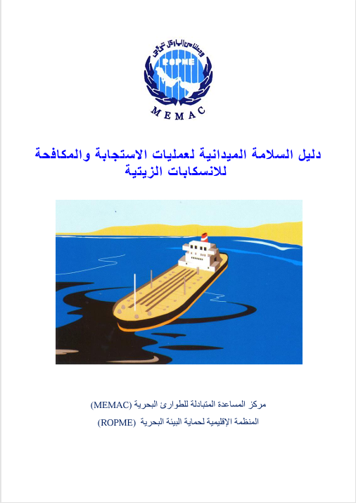
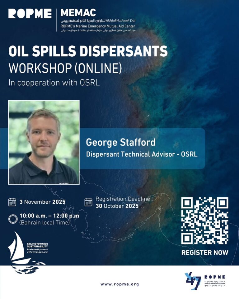
MEMAC
ObjectivesIn conformity with the provisions of the Protocol, the Marine Emergency Mutual Aid Centre (MEMAC) was established in Bahrain and started functioning in March 1983. The objectives of MEMAC are contained in Article III of the Protocol, which read as follows: Visit MEMAC Website
-
ROPME Projects
Driving Innovation for a Sustainable Marine Environment ROPME leads and supports a diverse portfolio of regional projects that address the most pressing environmental challenges in the ROPME Sea Area. Working closely with Member States, international organizations, research institutions, and strategic partners, these projects promote innovation, strengthen regional cooperation, and provide practical solutions for protecting the
-
SMEK
SMEK is an Integrated System for Marine Environmental Knowledge In the ROPME Sea Area (RSA), there is a critical need for relevant, timely, reliable, and accessible marine data, information, and knowledge. Why SMEK matters High-quality data and information are essential for marine research, observation, assessment, decision-making, and management of marine ecosystems and resources in the

Explore our data

Centralized platform that collects, manages, and shares data from various sources within an organization or community. Unlike a simple data warehouse, it provides a unified, trusted view of the data for a wide range of users

Apps provide simple access to information and tools for you to collect data and help your users understand your data. We recommend exploring the apps below for helping engage around specific goals and initiatives. Try updating the below cards or use the Gallery Card in the site editor.

An interactive gateway to explore ROPME’s sea area and member states. It highlights key geographic features, environmental data, and regional initiatives through dynamic mapping tools.

Dive Into Our Marine Library
ROPME offers a wealth of resources, including publications, maps, research studies, magazines, articles, and news. Dive into our comprehensive collection to explore the marine environment of the ROPME Sea Area
ROPME Currents
-
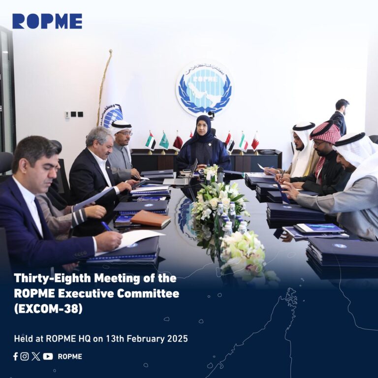
ROPME Executive Committee Holds Its 38th Meeting
Discusses the New Strategic Directions for 2026–2030: The Executive Committee of the Regional Organization for the Protection of the Marine…
-
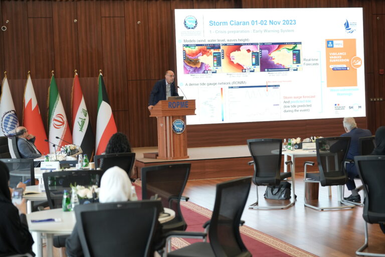
ROPME Organizes a Regional Workshop on Sea-Level Rise Risks, Coastal Resilience, and Climate Change Adaptation draft
In Cooperation with the French Embassy, the Environment Public Authority, and Kuwait Institute for Scientific Research, ROPME Organizes a Regional…
-
Example Video Album 4
Lorem Ipsum is a type of temporary text commonly used in the design and publishing industries to fill space on…
-
Example Video Album 2
Lorem Ipsum is a type of temporary text commonly used in the design and publishing industries to fill space on…
-

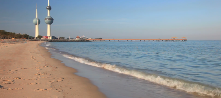
Tides of Life: A Visual Journey Through Kuwaiti Waters
“The pulse of Kuwait is measured not in hours, but in tides. ‘Tides of Life’ chronicles the eternal rhythm that…
-

Jewels of the Northern Gulf: Kuwait’s Marine Biodiversity
“Beneath the shimmer of the Arabian sun lies a world of unexpected brilliance. ‘Jewels of the Northern Gulf’ invites you…

The ROPME Environmental Calendar brings together major international, regional, and national environmental observances throughout the year.


Surf Our Member States
-
The Regional Organization for the Protection of the Marine Environment (ROPME) is an intergovernmental organization comprised of member states bordering the ROPME Sea Area. These member states are fundamental to the organization’s structure and mission, having initiated its establishment by signing the Kuwait Regional Convention for Cooperation on the Protection and Development of the Marine
ROPME Strategic Directions
The ROPME Strategic Directions 2026-2030 provide a comprehensive framework for addressing the critical environmental challenges facing the ROPME Sea Area (RSA) and align with global, regional, and national priorities.
-

GOAL I: Ecosystems
Secure Diverse, Healthy and Resilient Ecosystems
- Biodiversity Conservation Program (BCP)
- Climate Change Program (CCP)
- Pollution Combating Program (PCP)
-

GOAL II: Knowledge
Promote Knowledge Transfer & Innovative Research
- Marine Environmental Knowledge Program (SMEK)
- Research & Development Program (RDP)
-

GOAL III: Advocacy
Catalyze Stakeholders Engagement and Public Outreach
- Blue Outreach Program (BOP)
- Collaboration & Engagement Program (C&EP)
-
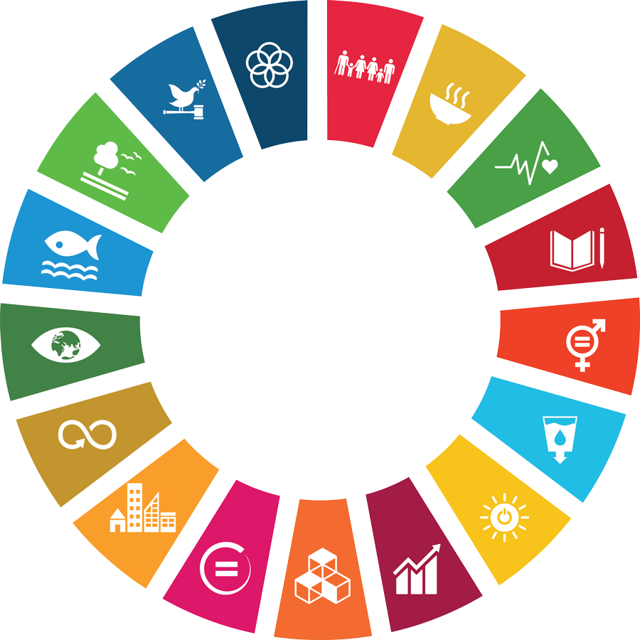
SDG