

Filters
0
-
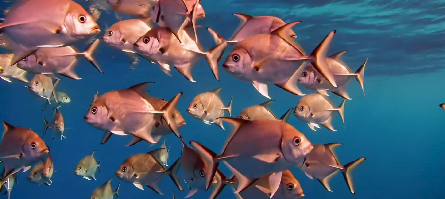
Fish life cycle
This section details the biological development stages of marine fish species, progressing from spawning and egg fertilization to the larval and juvenile phases, and ultimately culminating in adulthood. It highlights the environmental factors and oceanographic conditions that influence survival rates, growth, and reproduction, providing essential knowledge for sustainable fisheries management and marine biodiversity conservation.
-
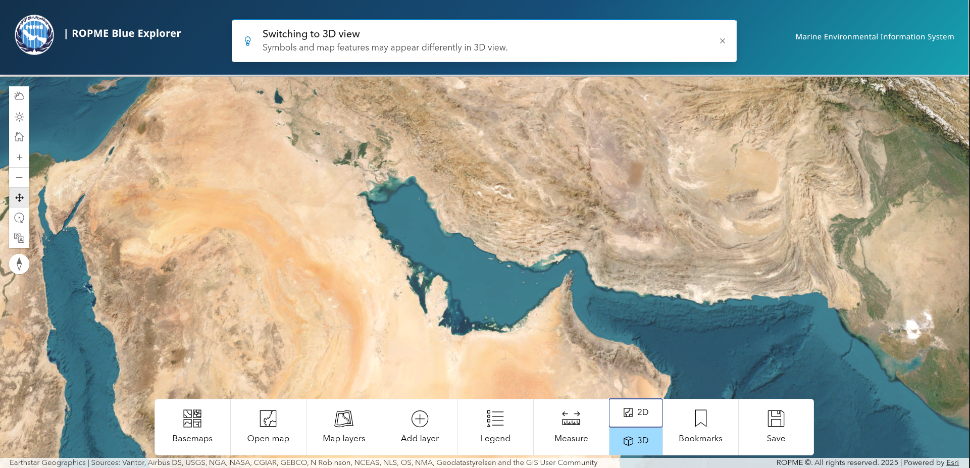
Geo Explorer
A comprehensive WebGIS portal that allows users to seamlessly discover, overlay, and analyze a wide variety of geospatial datasets related to the marine and coastal environment. By integrating biological, oceanographic, and anthropogenic data layers into a single, user-friendly mapping interface, it facilitates advanced spatial analysis, routine environmental monitoring, and informed decision-making for marine spatial planning.
-
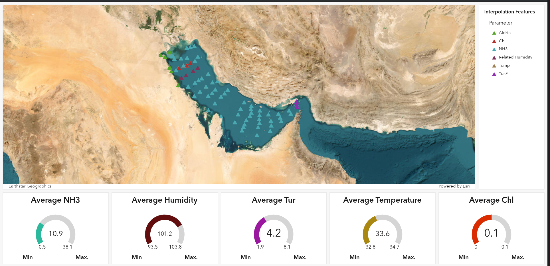
Interpolation Dashboard
A data visualization and analysis platform that utilizes mathematical interpolation techniques to estimate environmental values in unmeasured areas based on available sample data. It generates continuous spatial maps for crucial marine parameters—such as sea surface temperature, salinity, and water quality indicators—enabling users to identify large-scale spatial trends, distribution patterns, and anomalies across the marine environment.
-
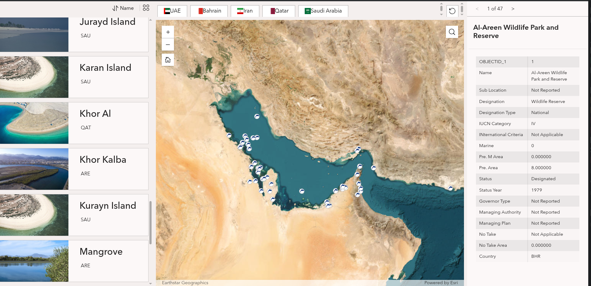
Marine Protected Area Navigator
An interactive geographic mapping tool designed to explore and manage designated Marine Protected Areas (MPAs). Users can visualize precise spatial boundaries, access datasets on local marine biodiversity, and review specific conservation regulations. The tool assists researchers, conservationists, and policymakers in evaluating the ecological health of protected zones and planning sustainable coastal management strategies.
-
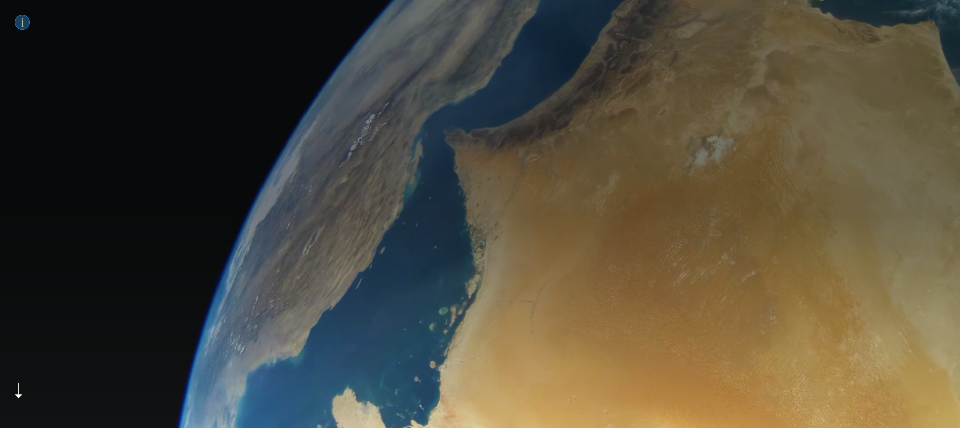
ROPME Satellite Monitoring Program
Initiated in early 2003 and managed by a dedicated Remote Sensing Unit headquartered in Kuwait[1][3], the program utilizes real-time and near-real-time satellite imagery for routine monitoring of the marine environment[1]. The program operates a direct broadcast ground station that daily receives data from Earth observation satellites, including NASA’s Terra, Aqua, Suomi-NPP, and NOAA-20 (utilizing MODIS…
-
Waves Nature and Their Types
This section explains the physical nature of ocean waves, which are primarily generated by the transfer of wind energy to the water’s surface, as well as by gravitational forces (tides) or seismic activity (tsunamis). It covers key wave characteristics such as crest, trough, wavelength, and wave height, detailing how waves propagate across the ocean and…