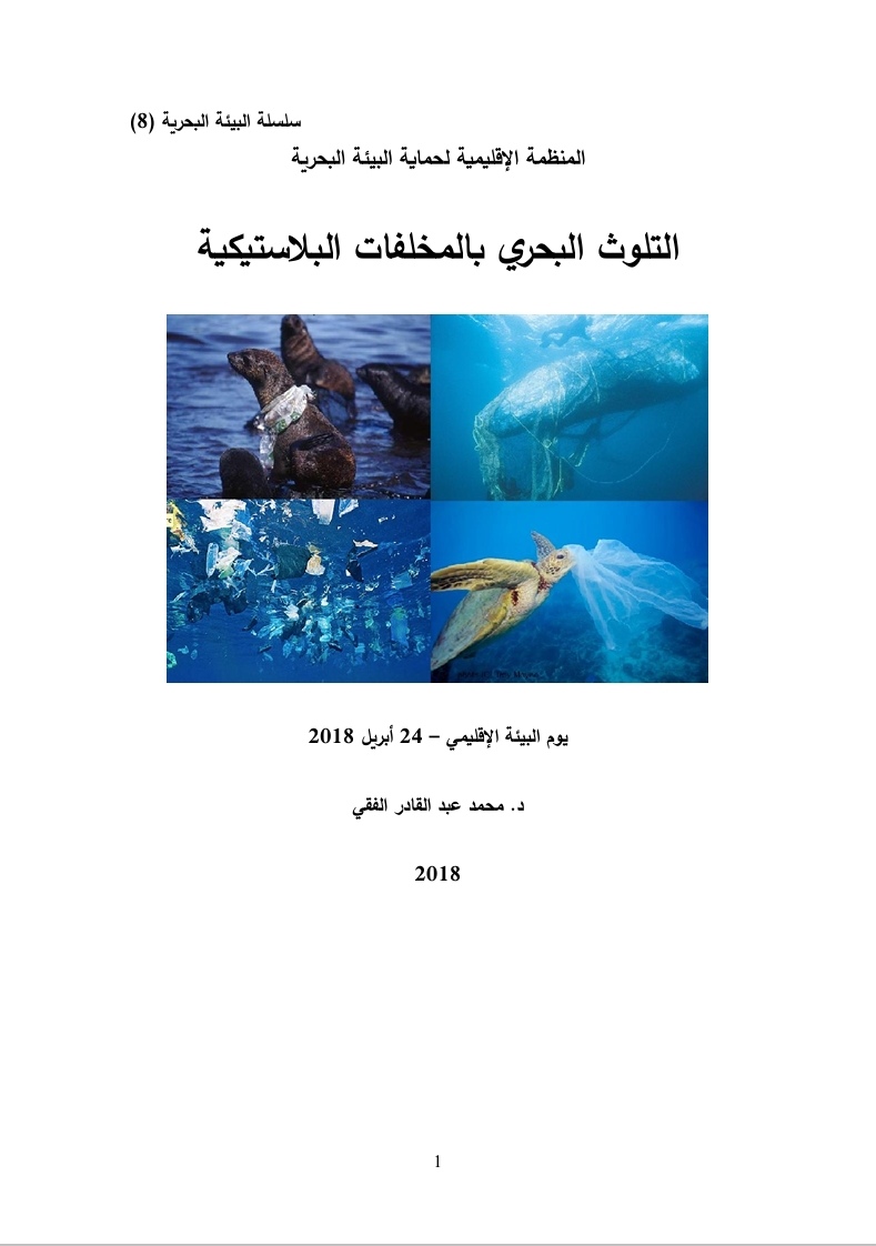
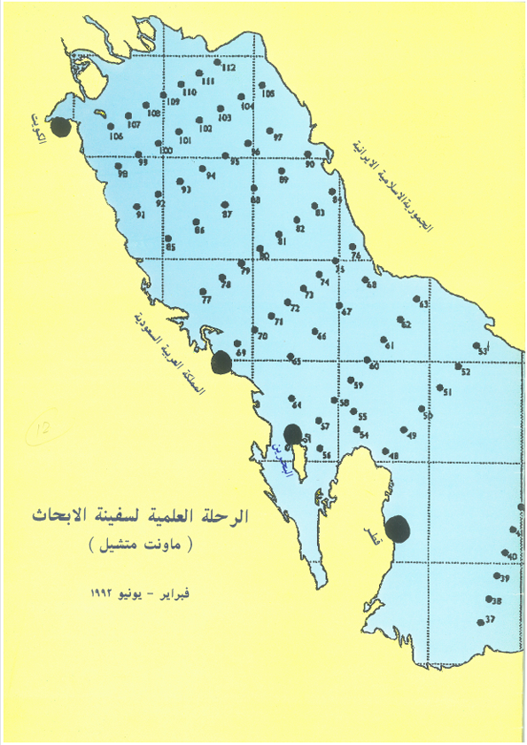
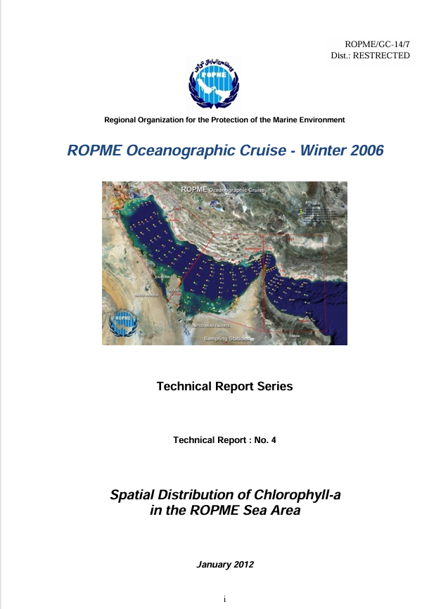
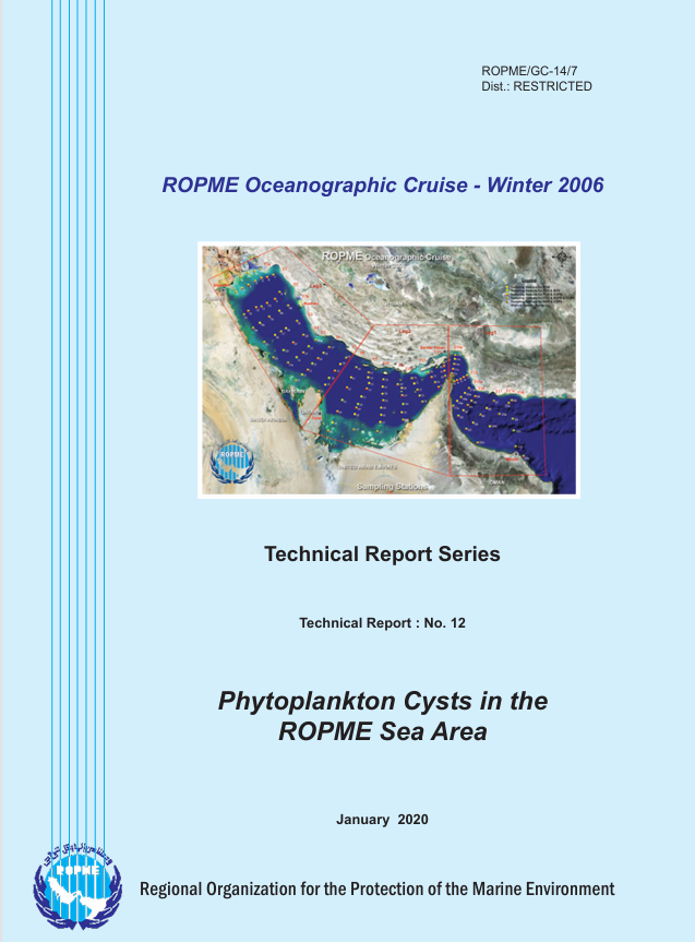
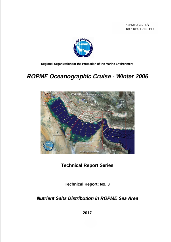
This report, “Offshore Environment of the ROPME Sea Area after the War-Related Oil Spill: Results of the 1993–94 Umitaka-Maru Cruises”, presents integrated oceanographic findings from scientific cruises conducted in the ROPME Sea Area (RSA) following the 1990–1991 Gulf War environmental crisis. The study was carried out aboard the research vessel Umitaka-Maru between 1993 and 1994, under the joint framework of ROPME, UNEP, IOC, and Japanese scientific institutions. The work aims to assess post-war marine environmental conditions and to improve understanding of physical, chemical, and biological processes controlling pollutant distribution, water mass circulation, and ecosystem recovery in the RSA. The RSA, a semi-enclosed and shallow sea surrounded by eight Gulf countries, has experienced intense anthropogenic pressure due to oil exploitation, industrialization, shipping traffic, and war-related oil pollution. The Gulf War resulted in catastrophic environmental damage, including massive oil spills estimated at around 10 million barrels and burning oil wells, significantly impacting marine and atmospheric systems.
The Umitaka-Maru conducted three short but intensive winter cruises in 1993 and 1994, focusing on hydrographic surveys, CTD measurements, and interdisciplinary oceanographic sampling. The study examined temperature, salinity, density structure, and circulation patterns across the RSA, including the Strait of Hormuz. The RSA exhibits a Mediterranean-type circulation, known as a “negative estuary,” where evaporation exceeds freshwater input, producing high salinity water masses. A surface inflow of relatively low-salinity water from the Gulf of Oman enters through the Strait of Hormuz and moves westward, while a dense, high-salinity bottom outflow exits the RSA through the strait. Strong evaporation and winter cooling contribute to the formation of extremely high salinity waters, sometimes exceeding 40–44 psu in certain regions, and seasonal variations show slightly lower temperatures in January compared to December due to stronger winter cooling.
A salinity minimum is observed near the northeastern area of Qatar, associated with sinking of incoming Gulf of Oman water, while high salinity bottom waters develop along the southern coast, especially near Bahrain and UAE waters. Horizontal and vertical structures of temperature and salinity are largely consistent with earlier studies by Emery, Brewer and Dyrssen, and Reynolds. A dedicated study of the Strait of Hormuz revealed strong diurnal tidal currents dominating over semidiurnal tides, with flow structure alternating between barotropic conditions of uniform vertical flow and baroclinic conditions of surface inflow and deep outflow. A pronounced density front exists near the center of the strait, formed by salinity differences between Gulf and Arabian Sea waters, and water exchange is influenced by tidal phase, being more effective during weak mixing periods such as neap tide when the front weakens.
ADCP measurements confirmed strong tidal influence and vertical current structure variability, while the estuarine circulation system drives continuous exchange between the Gulf and Indian Ocean. Seasonal and tidal interactions control the formation and breakdown of density fronts and water mass exchange. The Umitaka-Maru cruises provided critical post-war baseline data on the RSA marine environment, confirming that the region is governed by a complex interaction of evaporation-driven circulation, tidal dynamics, and inflow from the Gulf of Oman, all of which shape salinity structure, density fronts, and water exchange through the Strait of Hormuz. These findings remain essential for understanding long-term environmental recovery and pollutant transport in this strategically important marine system.