Remote sensing using satellite sensor systems has been applied on large spatial scales with high temporal resolutions and variable radiometric details to assess earth resources and long-term changes for nearly 50 years now. Being synoptic, repetitive in coverage and efficiently observe large areas at suitable spatial and temporal resolutions, the satellite imagery can provide a critical information on state of coastal water quality, major natural benthic habitats and natural and human-induced hazards that may threat the livelihood of coastal communities.
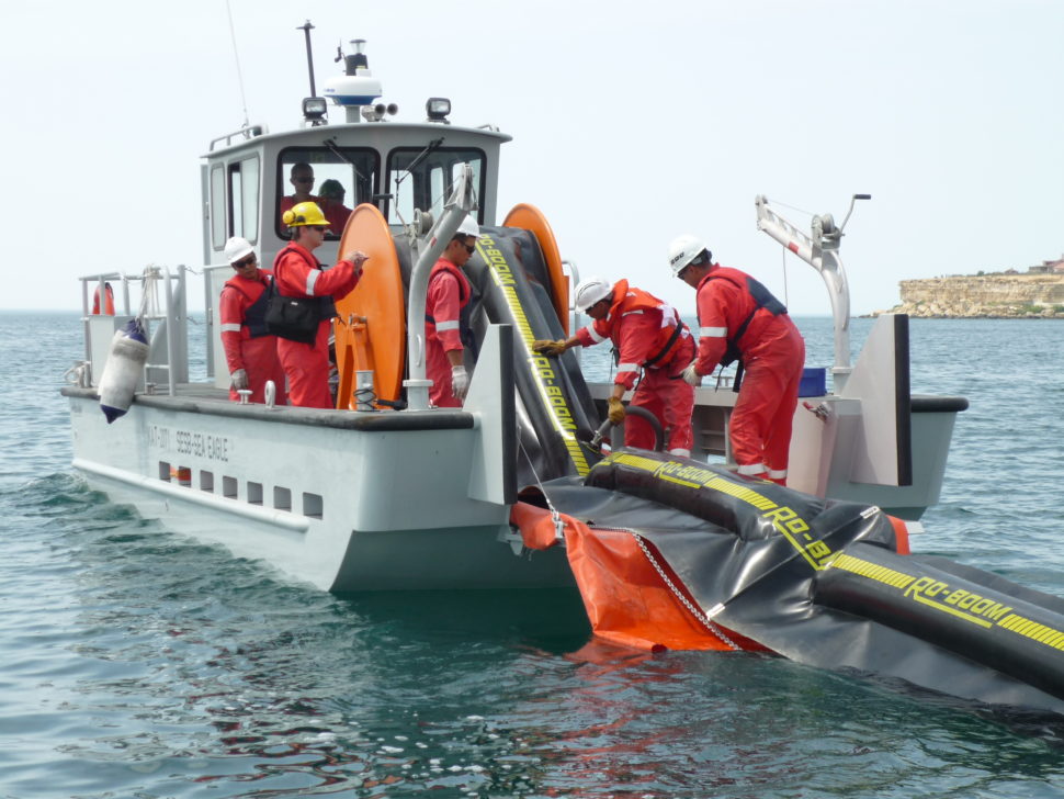
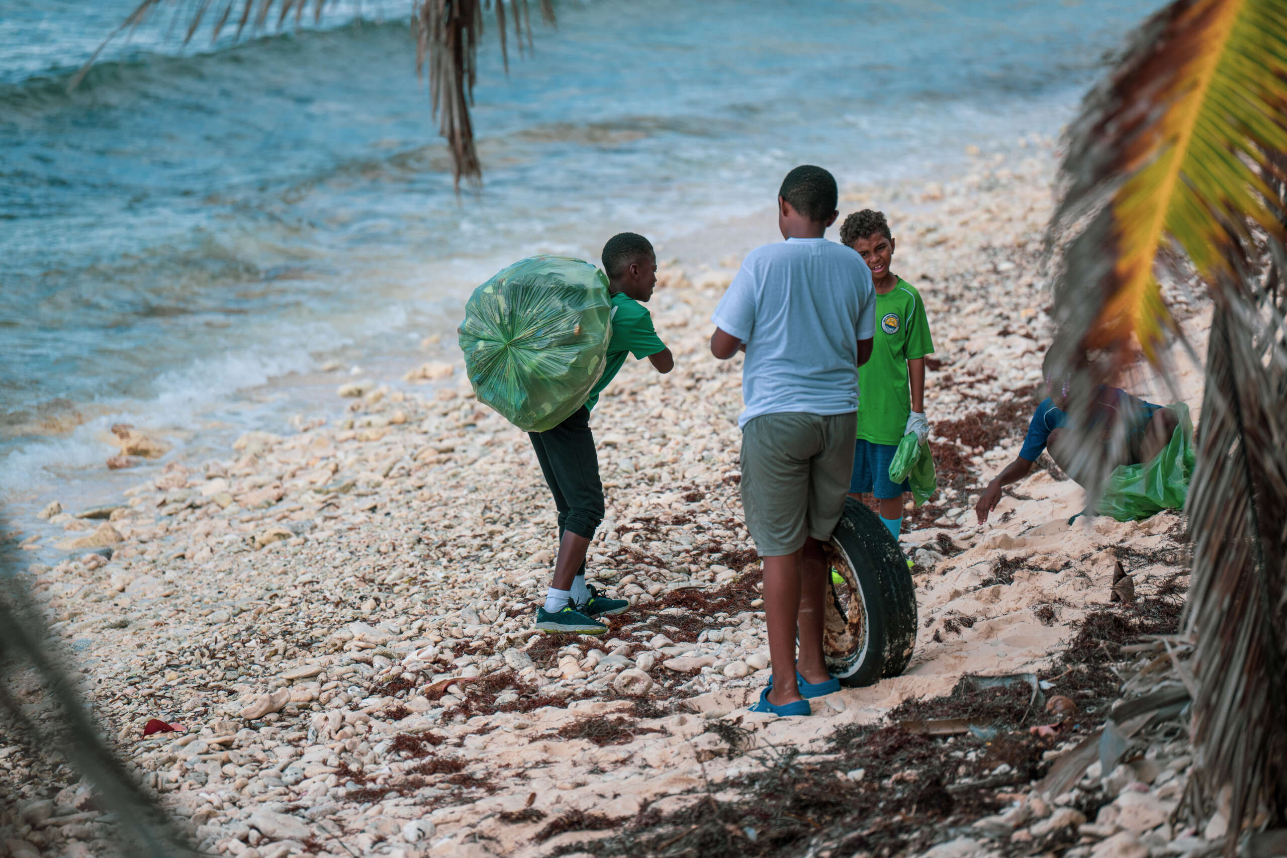
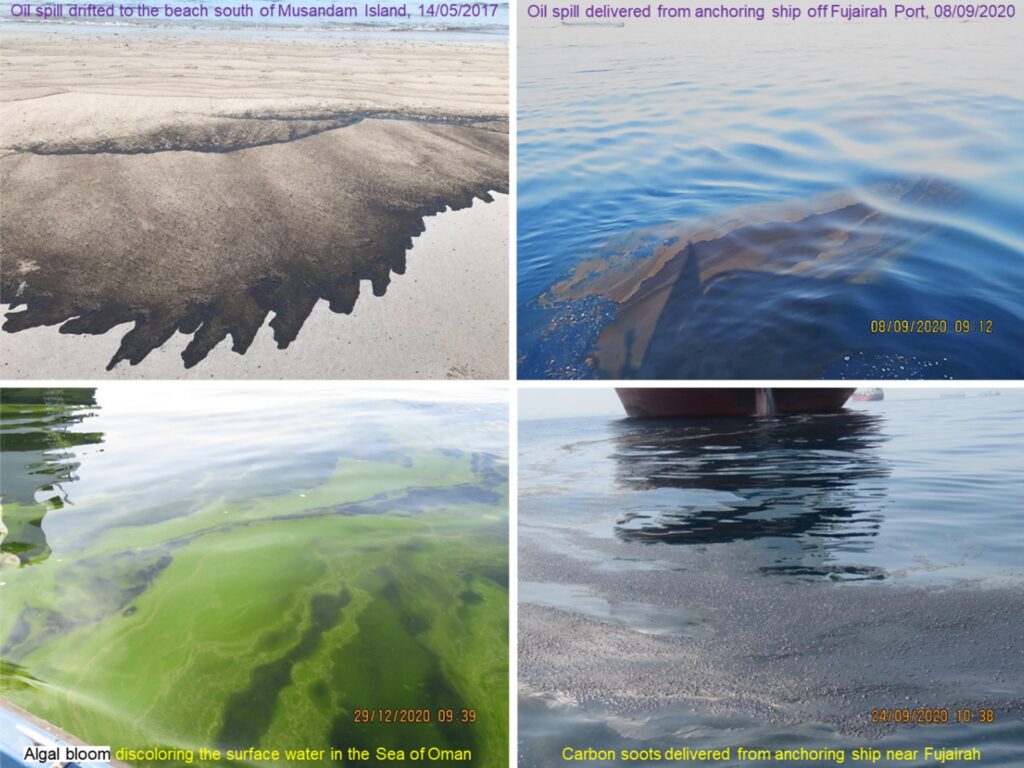
Among others, routine monitoring of land- or sea-based pollution and other coastal and marine hazards such as oil spills, harmful algal blooms (HABs), and cyclones is extremely important and critical for the ROPME Sea Area because of its vulnerability to these hazards and the prompt need for operational and timely response to their effects.
To comply with this objective, the ROPME has initiated a satellite-based program and special remote sensing unit for routine monitoring of state of the marine environments, as well as, coastal and marine stressors and hazards in its regional area (the Gulf, Sea of Oman and Arabian Sea), which is conventionally, known as ROPME Sea Area.
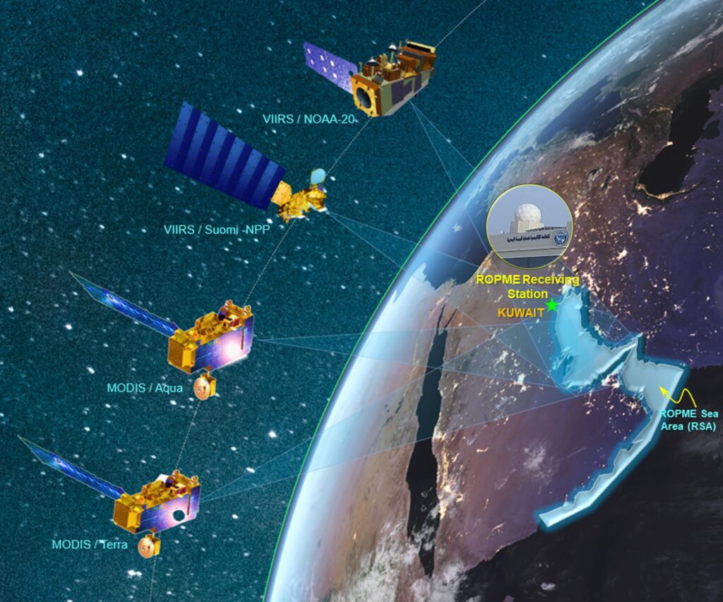
This program relies since early 2003 essentially on processing and utilization of real-time and near-real time satellite data and imagery that are being received by ROPME Satellite Ground Station. This station is being operated and managed by experts in Remote Sensing and routinely receives satellite data on daily basis NASA’s MODIS sensor (onboard Terra and Aqua satellites) and VIIRS sensor (onboard Suomi NPP and NOAA-20 satellites). For more information about this station click [ Here ]
Satellite-derived parameters that are routinely collected and assessed on daily bases by ROPME Station include, among others: sea surface temperature (sst), surface chlorophyll concentration (Chl-a), turbidity of water (diffuse attenuation coefficient, kd490). These data is validated from time to time through field information that are sometimes supplied by our national focal points through conventional in-situ measurements or field observations.
ROPME’s remote sensing program also utilizes additional satellite data from external sources and other available platforms, as needed e.g Sentinel-1. Senetinal-2, Sentinel-3, Landsat-8, etc.
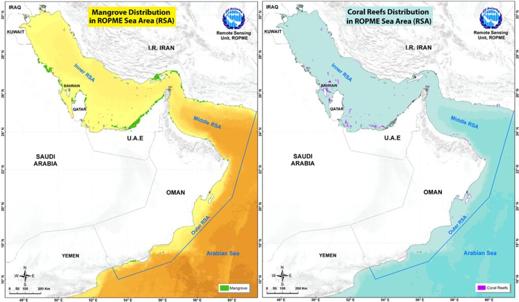
External satellite images and data other than MODIS and VIIRS data routinely received by ROPME Station are usually utilized for updating of existing information on state of major natural benthic habitats and marine inventory, supporting risk management of coastal hazards, mapping of coastal resources, etc.
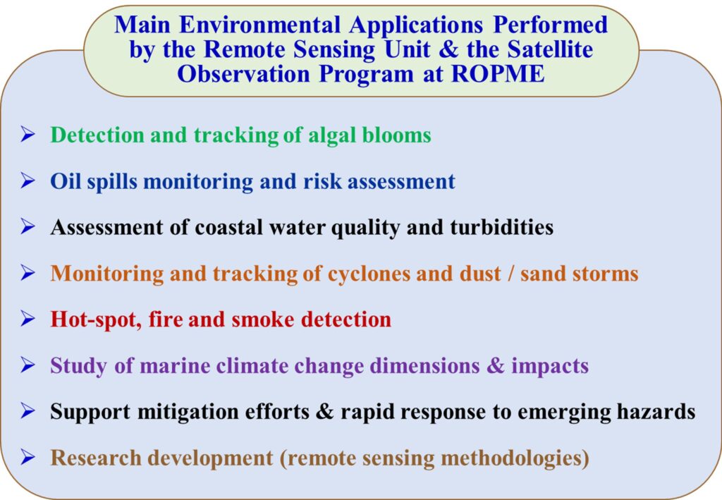
Exploitation of all of these data sources and their integration with GIS and other tools has yielded a wide variety of geo-referenced maps and reports about distribution of sea surface temperature, marine phytoplankton and distribution of benthic habitats in the ROPME Sea Area.
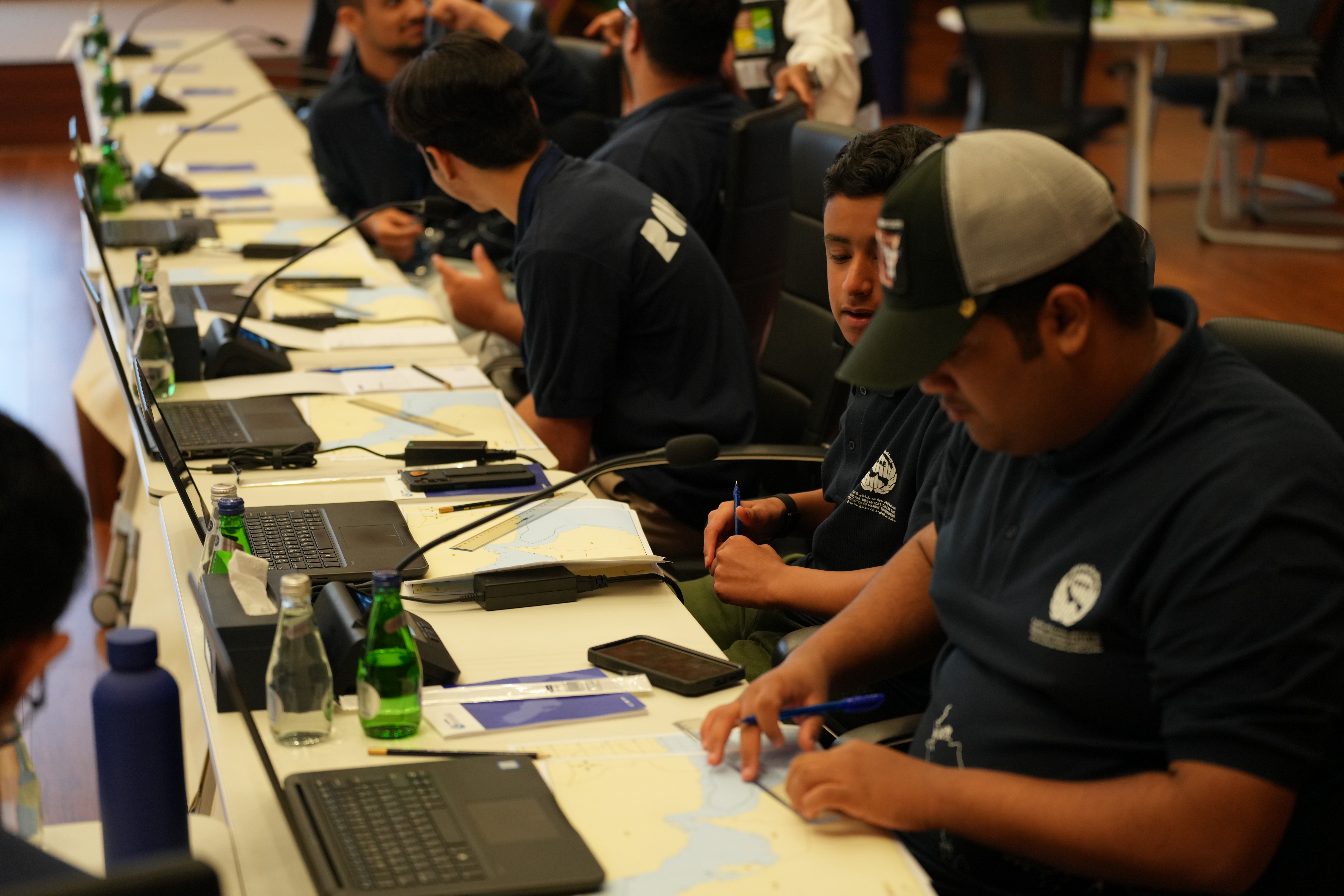
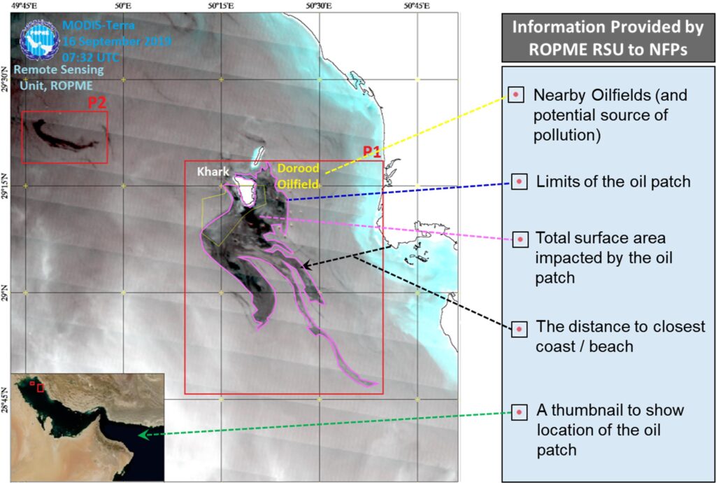
Complementary to satellite observations, the Remote Sensing Programme at ROPME occasionally receives in-situ data and field observations from our National Focal Points (NFPs) about emerging oil spills or other coastal hazards. Such in-situ data can provide additional specific field information on the emerging case or hazard. Therefore, they are used for field verification and for validation of remote sensing results. The complementation, interconnection, and interdependence between conventional in-situ observations and satellite remote sensing analysis are also very important and critical for assessment of accuracy and development of remote sensing technologies.
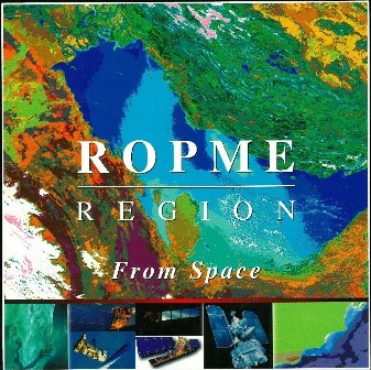
Archiving of received satellite images and documentation of major marine incidents and features in the regions also allowed publication (in collaboration with UNEP) of the “ROPME Area from Space” in year 2000, which is considered the first regional atlas of its kind in the region.
The Remote Sensing Unit which is managing the satellite observation program at ROPME also provides a guidance and advice to NFPs and concerned environmental authorities in case they need further information on status of the marine environment in their territorial waters or regional seas.