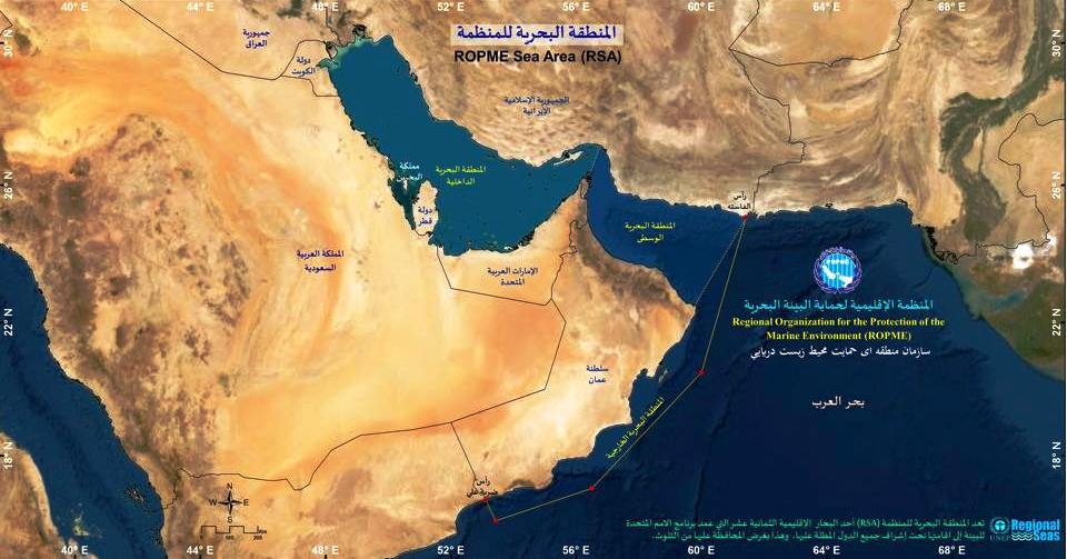
The Vessel Tracking & Maritime Monitoring System provides near real-time tracking of commercial, research, and industrial vessels operating within the ROPME Sea Area. Integrated with satellite-based AIS (Automatic Identification System) data, the system enhances maritime safety, pollution control, and regional coordination.
The platform displays vessel locations, routes, flag states, and port activity, helping environmental authorities detect illegal dumping, monitor shipping lanes, and assess marine traffic impacts. It’s a vital tool in emergency preparedness and in enforcing maritime regulations for the protection of regional waters.


