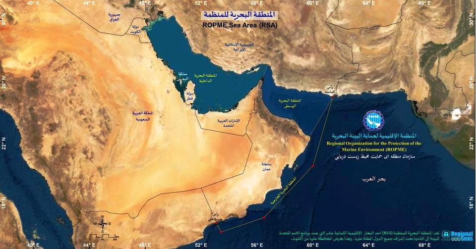
The Interactive Marine Data Map Portal offers real-time access to spatial datasets covering water quality, pollution sources, protected areas, and monitoring stations across the ROPME Sea Area. Users can explore multi-layered maps, visualize environmental trends, and download datasets for research and policy planning.
Built using advanced GIS technology, the portal supports decision-makers, researchers, and educators with user-friendly tools for viewing, filtering, and analyzing marine and coastal data. It reflects ROPME’s commitment to transparency, data-sharing, and regional environmental cooperation.


