Exploration maps

Explore More
-

Vessel Tracking & Maritime Monitoring System
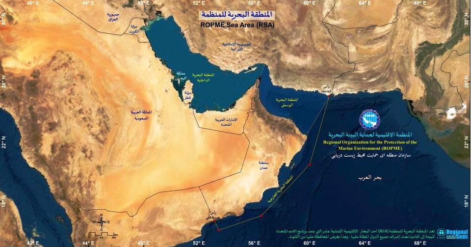
The Vessel Tracking & Maritime Monitoring System provides near real-time tracking of commercial, research, and industrial vessels operating within the ROPME Sea Area. Integrated with satellite-based AIS (Automatic Identification System) data, the system enhances maritime safety, pollution control, and regional coordination. The platform displays vessel locations, routes, flag states, and port activity, helping environmental authorities
-

Interactive Marine Data Map Portal
The Interactive Marine Data Map Portal offers real-time access to spatial datasets covering water quality, pollution sources, protected areas, and monitoring stations across the ROPME Sea Area. Users can explore multi-layered maps, visualize environmental trends, and download datasets for research and policy planning. Built using advanced GIS technology, the portal supports decision-makers, researchers, and educators
