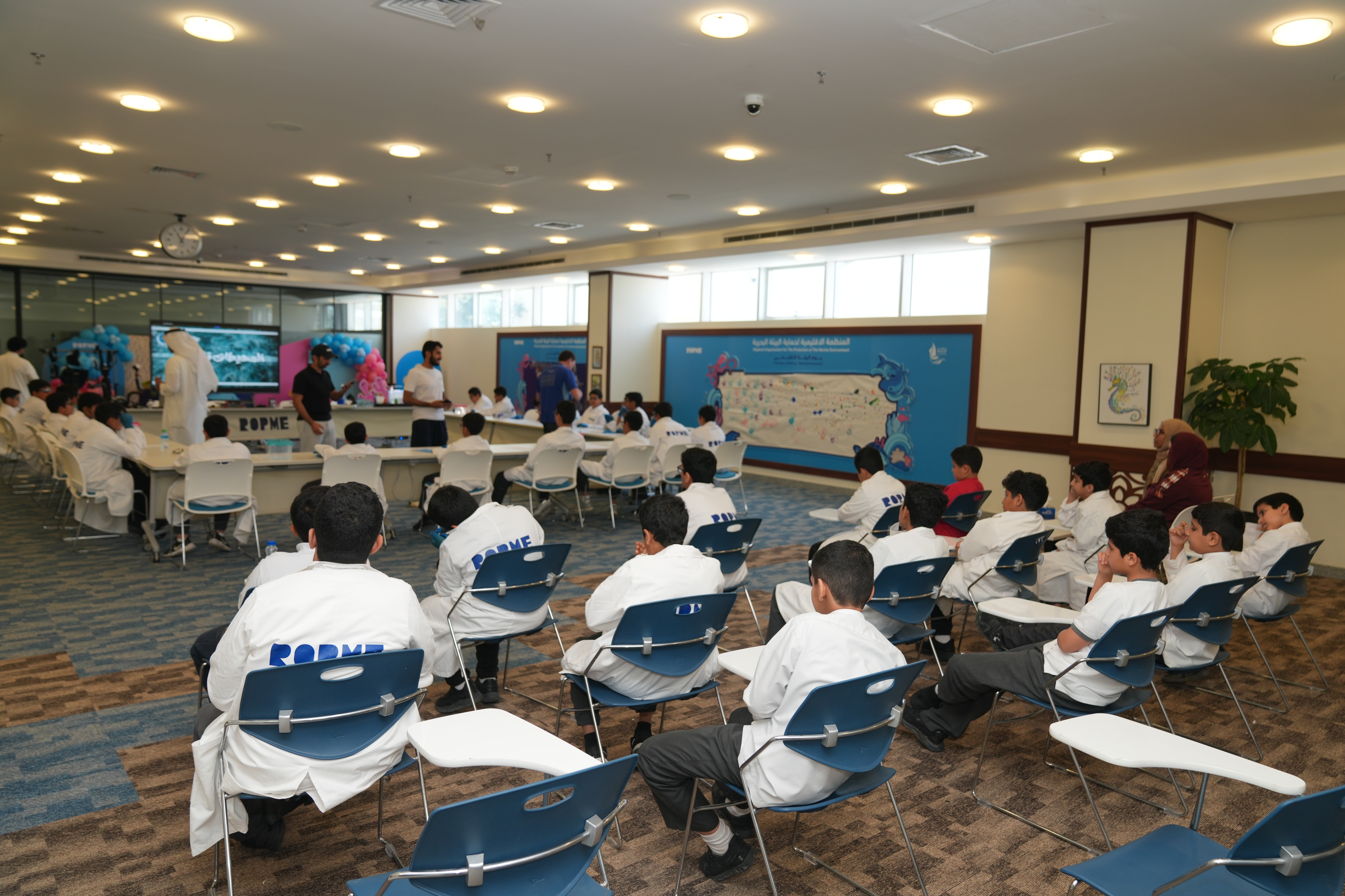
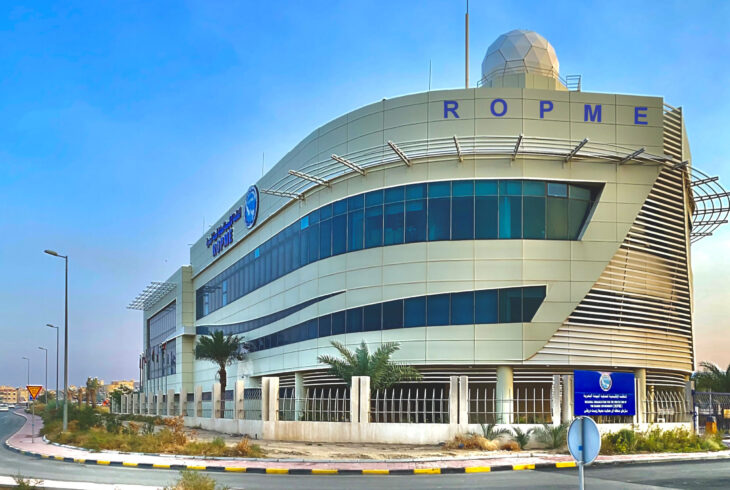
The Marine Data & GIS Operations Center is the central hub for managing spatial and environmental data related to the ROPME Sea Area. It hosts powerful servers and GIS platforms that integrate satellite imagery, monitoring data, and predictive modeling tools for marine analysis.
The center enables experts to visualize environmental trends, assess ecological risks, and support real-time decision-making through advanced dashboards and mapping applications. It also provides training and technical support to member states in building their national GIS capacities.


