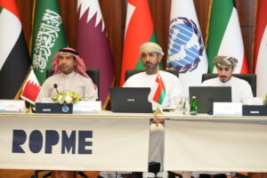
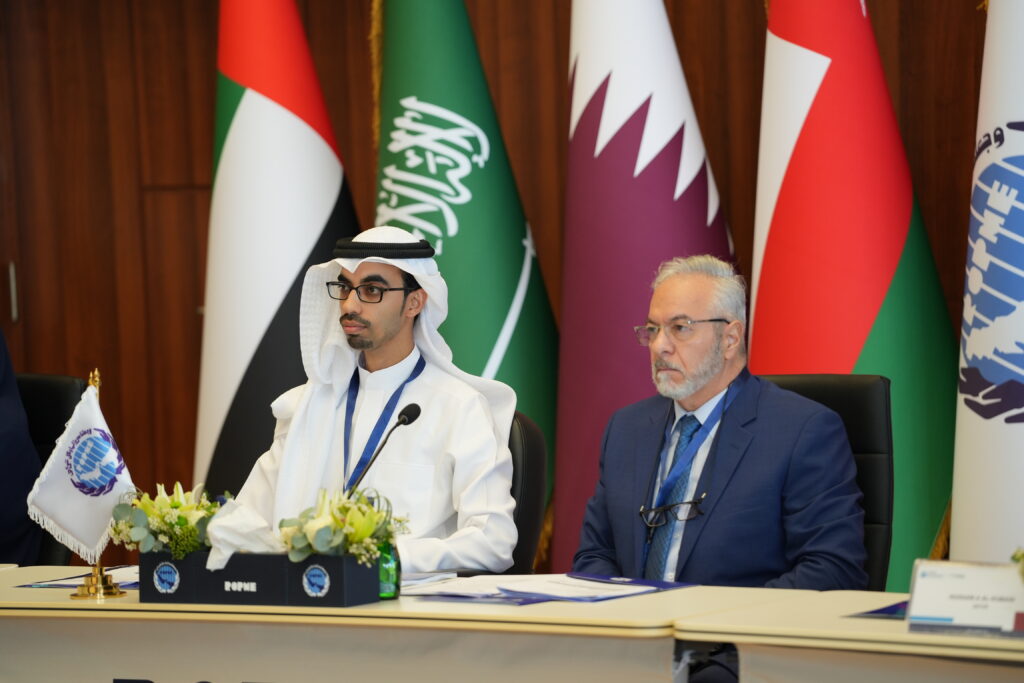
This technical seminar brings together GIS specialists, oceanographers, and policymakers to explore how geospatial technologies can support marine protection and decision-making. The program includes demonstrations of regional GIS platforms, data standardization frameworks, and real-time ocean monitoring tools.
Participants will share experiences from national initiatives, assess current gaps in marine data infrastructure, and propose joint data-sharing protocols. The seminar aims to strengthen collaboration between environmental and technological agencies in the ROPME Sea Area.