Introduction
The Regional Organization for the Protection of the Marine Environment (ROPME) has successfully conducted a training program to build local expertise in the use of satellite imaging technologies. This initiative brought together specialists from across the region, equipping them with advanced skills to monitor marine and coastal environments more effectively. By prioritizing knowledge transfer and regional collaboration, ROPME continues to lead efforts that safeguard shared marine resources in an era of increasing environmental pressures.
Training Program Overview
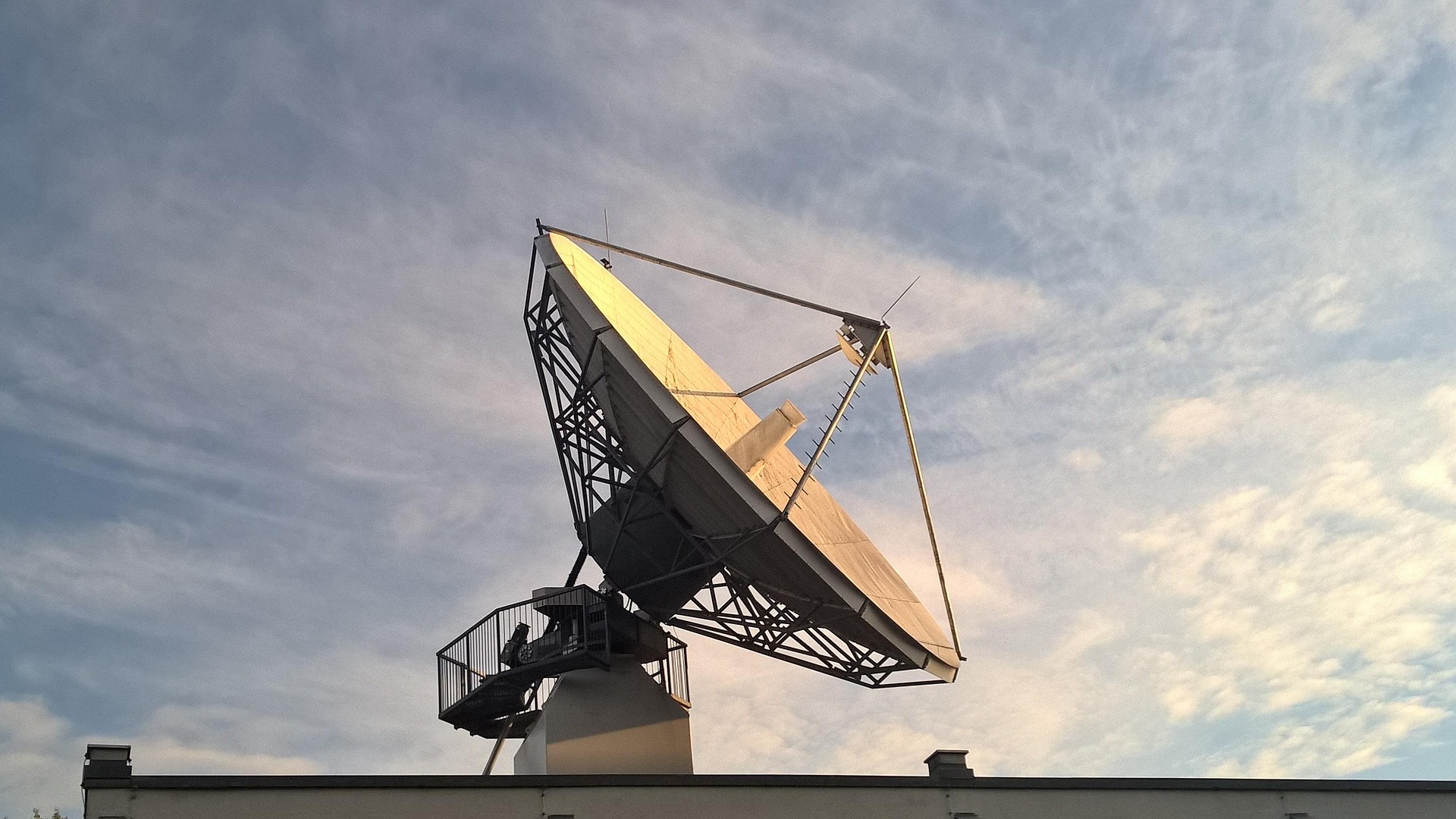
The program combined theory with hands-on practice, introducing participants to the latest applications of satellite imaging in environmental monitoring. Sessions included data collection, image analysis, and the use of specialized software to track changes in marine ecosystems. Real-world case studies demonstrated how satellite technology can support efforts to combat marine pollution, monitor coastal erosion, and respond to the impacts of climate change.
Participants were also introduced to emerging tools such as remote sensing applications, geographic information systems (GIS), and advanced mapping techniques. These technologies allow for more precise tracking of environmental changes over time, giving decision-makers reliable data to act upon. The training highlighted practical scenarios, ensuring that participants could apply their new knowledge directly to the environmental challenges faced by their countries.
Enhancing Regional Capacity
By developing in-country expertise, ROPME is reducing reliance on external sources of data and strengthening the region’s ability to respond quickly to environmental challenges. The program emphasized self-sufficiency, enabling countries to generate their own data and interpret it within local contexts. This shift is particularly critical in addressing rapid environmental changes, where delays in information can lead to severe consequences for ecosystems and communities alike.
The training also encouraged collaboration among participants, fostering a shared commitment to protecting marine resources and improving regional resilience. By bringing together professionals from different member states, the program created opportunities for knowledge exchange, joint research, and cross-border environmental initiatives. This spirit of cooperation is vital in tackling marine issues that do not recognize national boundaries.

Broader Impacts
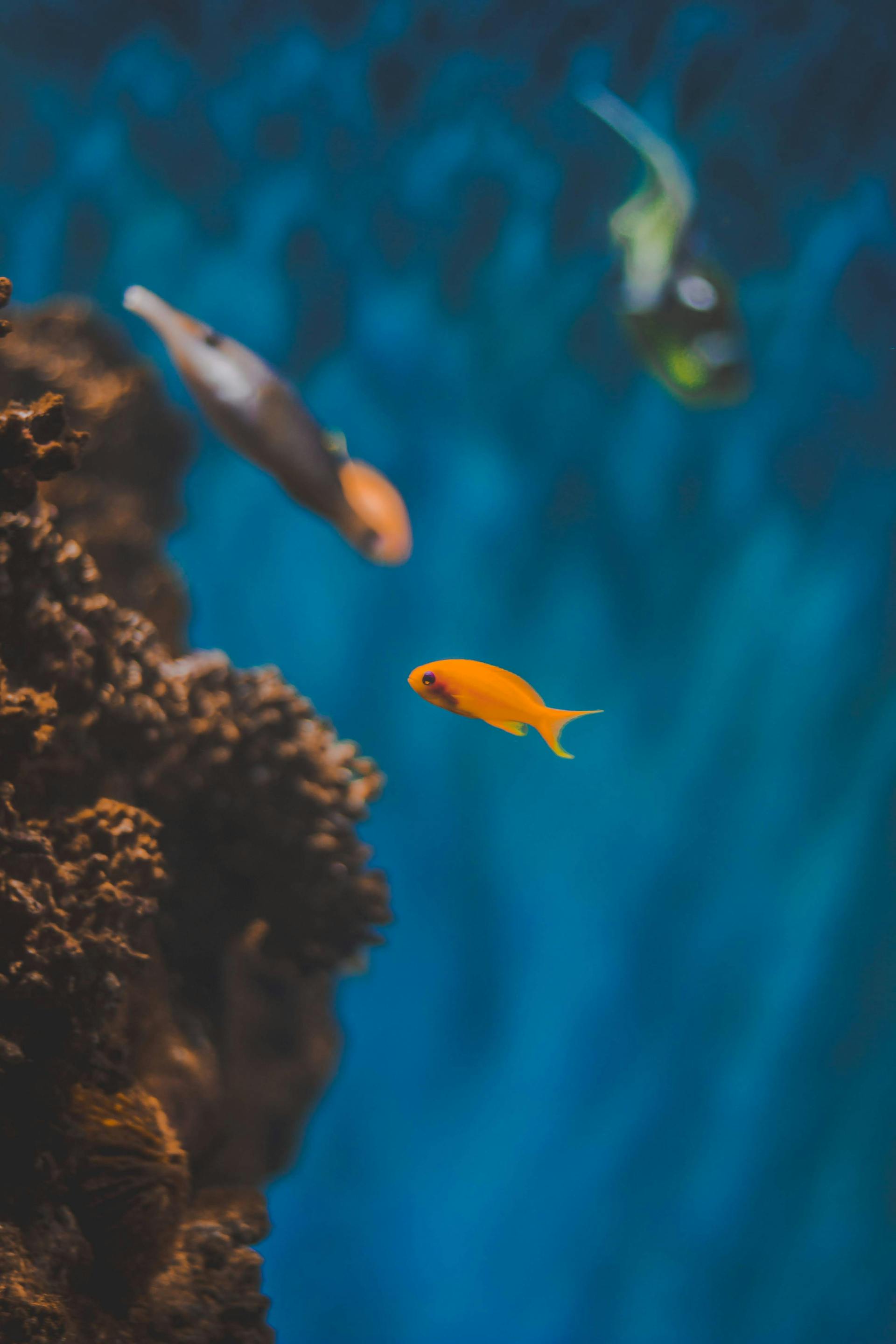
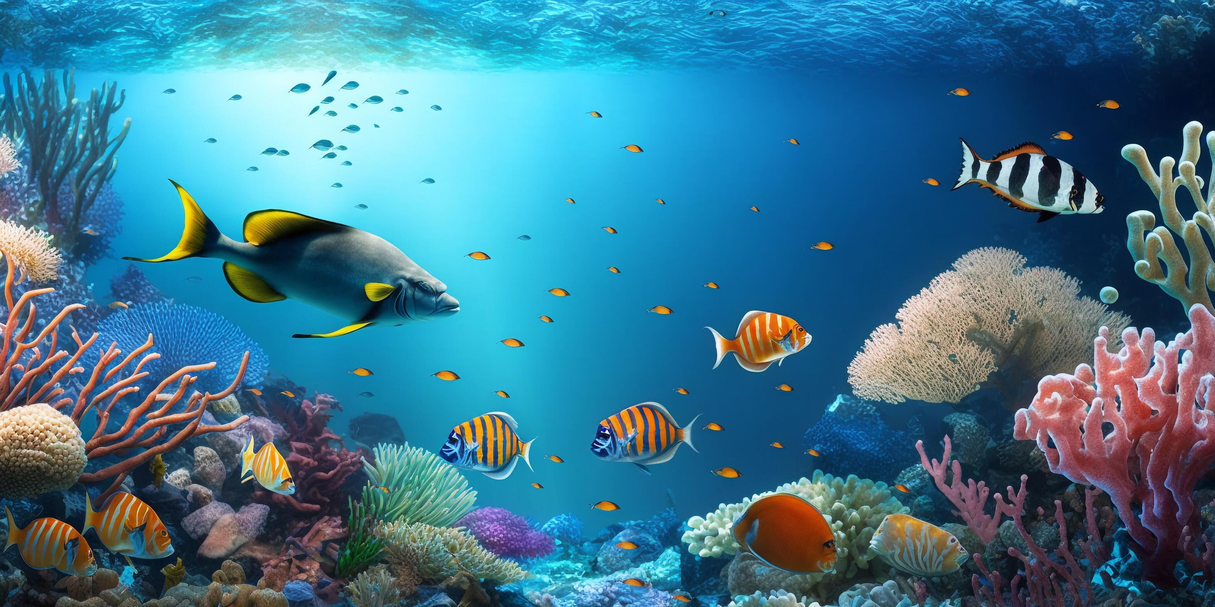
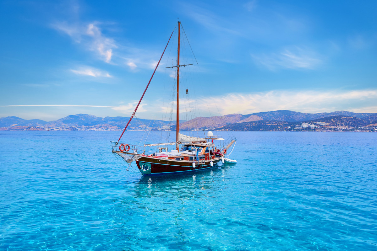
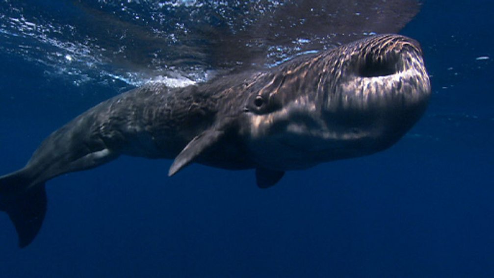
Satellite imaging is more than just a technological advancement; it represents a transformative approach to environmental protection. Through this program, local experts gained the ability to monitor oil spills, track harmful algal blooms, and identify illegal fishing activities with greater accuracy. Such capabilities significantly enhance national and regional responses to environmental threats, protecting both marine ecosystems and the communities that depend on them.
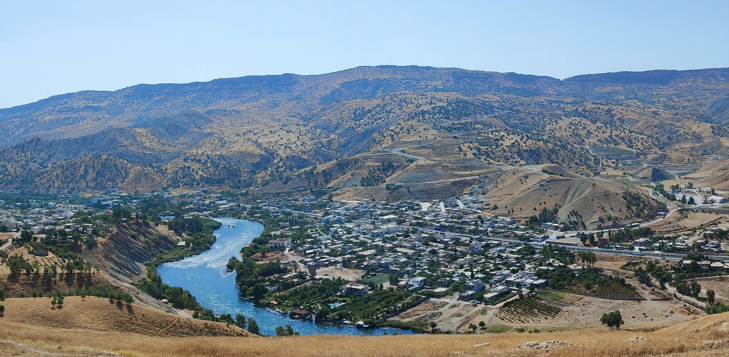
The initiative also highlighted the role of satellite imaging in long-term planning. From designing marine protected areas to managing coastal development, access to accurate spatial data ensures that economic growth and environmental sustainability can advance hand in hand. By linking science with policy, ROPME is helping to bridge the gap between data collection and effective governance.
Looking Ahead
ROPME emphasized that this initiative is part of a broader strategy to integrate modern technologies into marine protection efforts. By investing in local capacity, the organization aims to ensure that countries in the region are equipped with the knowledge and tools necessary to safeguard their shared marine environment for future generations.
Future plans include expanding the program to reach a wider group of specialists and incorporating additional technologies such as drone-based monitoring and artificial intelligence for data analysis. These innovations will further strengthen the region’s ability to anticipate and respond to environmental challenges.

Conclusion
The ROPME Satellite Imaging Training Program represents a significant milestone in regional cooperation for environmental protection. By combining advanced technology with capacity building, the initiative empowers member states to take ownership of their environmental monitoring systems. In doing so, ROPME is laying the foundation for a more resilient and sustainable future—where decisions are guided by science, and the marine environment is preserved for generations to come.
“We cannot protect what we do not understand.” – Jacques-Yves Cousteau