Navigating the Future: The 10th ROPME Hydrographic Commission Meeting Convenes in Jeddah
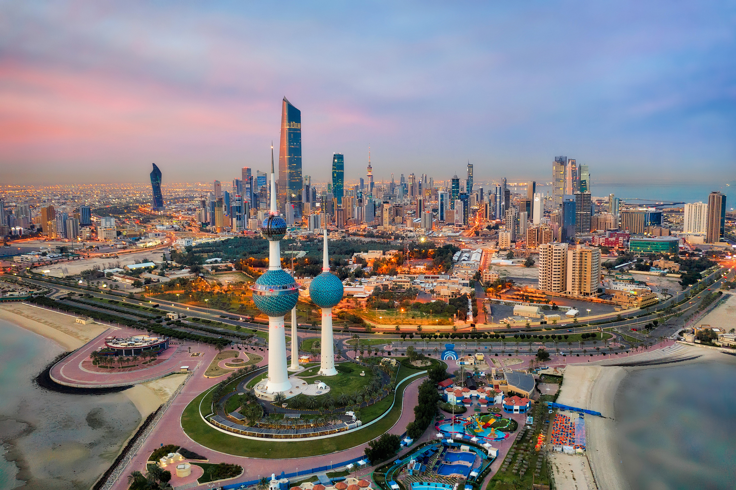
The city of Jeddah, a historic gateway on the Red Sea, recently played host to a critical gathering of regional experts and officials: the 10th Meeting of the ROPME Hydrographic Commission (RHC). This significant event brought together representatives from the eight member states of the Regional Organization for the Protection of the Marine Environment (ROPME)—Bahrain, Iran, Iraq, Kuwait, Oman, Qatar, Saudi Arabia, and the United Arab Emirates—along with international observers, to address the vital role of hydrography in safeguarding the region’s maritime future.
The meeting underscored a fundamental truth: the foundation of all maritime safety, economic development, and environmental protection is precise knowledge of the sea itself.
The Core Mission of the RHC
The ROPME Hydrographic Commission operates under a clear mandate: to coordinate and advance hydrographic surveying and charting activities within the ROPME Sea Area (RSA). Its work is the bedrock upon which safe and efficient navigation is built, directly preventing maritime accidents that could lead to catastrophic oil spills, loss of life, and environmental devastation in the fragile waters of the Persian Gulf and Gulf of Oman.
The commission’s key objectives include:
- Promoting the standardization of hydrographic data collection and nautical chart production across the region.
- Identifying and prioritizing areas within the RSA that require new or updated surveys, particularly in congested shipping lanes and environmentally sensitive zones.
- Building regional capacity by facilitating training, sharing technology, and encouraging collaboration between the national hydrographic offices of member states.
- Supporting the implementation of international maritime safety conventions.
Key Agendas for the 10th Meeting in Jeddah
The agenda in Jeddah was strategically focused on addressing both persistent challenges and emerging opportunities. Key discussion points likely included:
- Progress on Regional Surveying Projects: Member states reviewed the status of ongoing and planned hydrographic survey projects, assessing progress towards achieving a complete and modern hydrographic dataset for the entire RSA.
- Adoption of Modern Technologies: A significant focus was on integrating cutting-edge technologies like Multibeam Echosounder systems, airborne LiDAR, and autonomous underwater vehicles (AUVs) to enhance the efficiency, coverage, and resolution of seabed mapping.
- Capacity Building and Training: Addressing the need for specialized skills, the meeting undoubtedly involved planning for regional training workshops, scholarship opportunities, and knowledge-transfer programs to ensure each member state has the expertise to contribute effectively.
- Data Sharing and Interoperability: Discussions centered on improving mechanisms for sharing hydrographic data between nations. This is crucial for creating seamless nautical charts and a comprehensive understanding of the entire marine basin, as the sea does not adhere to political borders.
- Environmental Protection Applications: The commission explored the expanding role of hydrographic data in environmental management. High-resolution bathymetric maps are essential for modeling oil spill trajectories, identifying sensitive habitats like coral reefs and seagrass beds, planning for marine protected areas, and understanding the impacts of coastal construction and dredging.
- Climate Change and Coastal Vulnerability: The meeting likely addressed how hydrographic data is critical for modeling sea-level rise and coastal erosion, providing vital information for climate adaptation strategies to protect vulnerable shorelines and infrastructure.
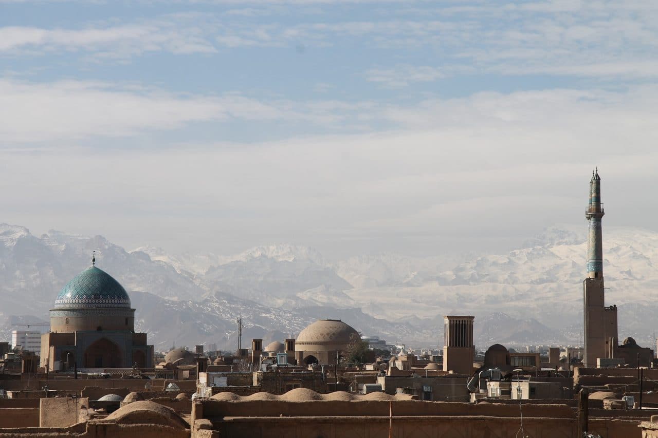
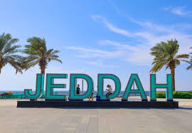
The Significance of the Host Venue: Jeddah, Saudi Arabia
Holding this meeting in Jeddah, home to a major port and Saudi Arabia’s important national hydrographic office, highlighted the Kingdom’s commitment to regional maritime safety and security. It provided an opportunity to showcase Saudi Arabia’s own advancements in hydrographic science and its dedication to playing a leading role in regional cooperation.
Conclusion: Charting a Course of Collaborative Security
The 10th ROPME Hydrographic Commission Meeting in Jeddah was far more than a technical gathering of surveyors and cartographers. It was a powerful demonstration of regional solidarity and a shared recognition that cooperation in hydrography is a non-negotiable prerequisite for sustainable development.
By strengthening the coordination of seabed mapping and nautical information, the RHC directly contributes to:
- Enhanced Safety of Navigation: Protecting lives, cargo, and the marine environment from groundings and collisions.
- Economic Resilience: Securing the vital shipping lanes that are the lifeline of the global economy and regional prosperity.
- Environmental Stewardship: Providing the foundational data needed to protect the irreplaceable marine ecosystems of the ROPME Sea Area.
This decade-mark meeting reaffirmed that by charting their waters together, the member states are collectively charting a course toward a safer, more secure, and sustainable future for the entire region.