
The ROPME Sea Area Cruises: A Legacy of Scientific Cooperation in a Fragile Marine Ecosystem
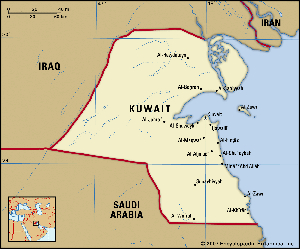
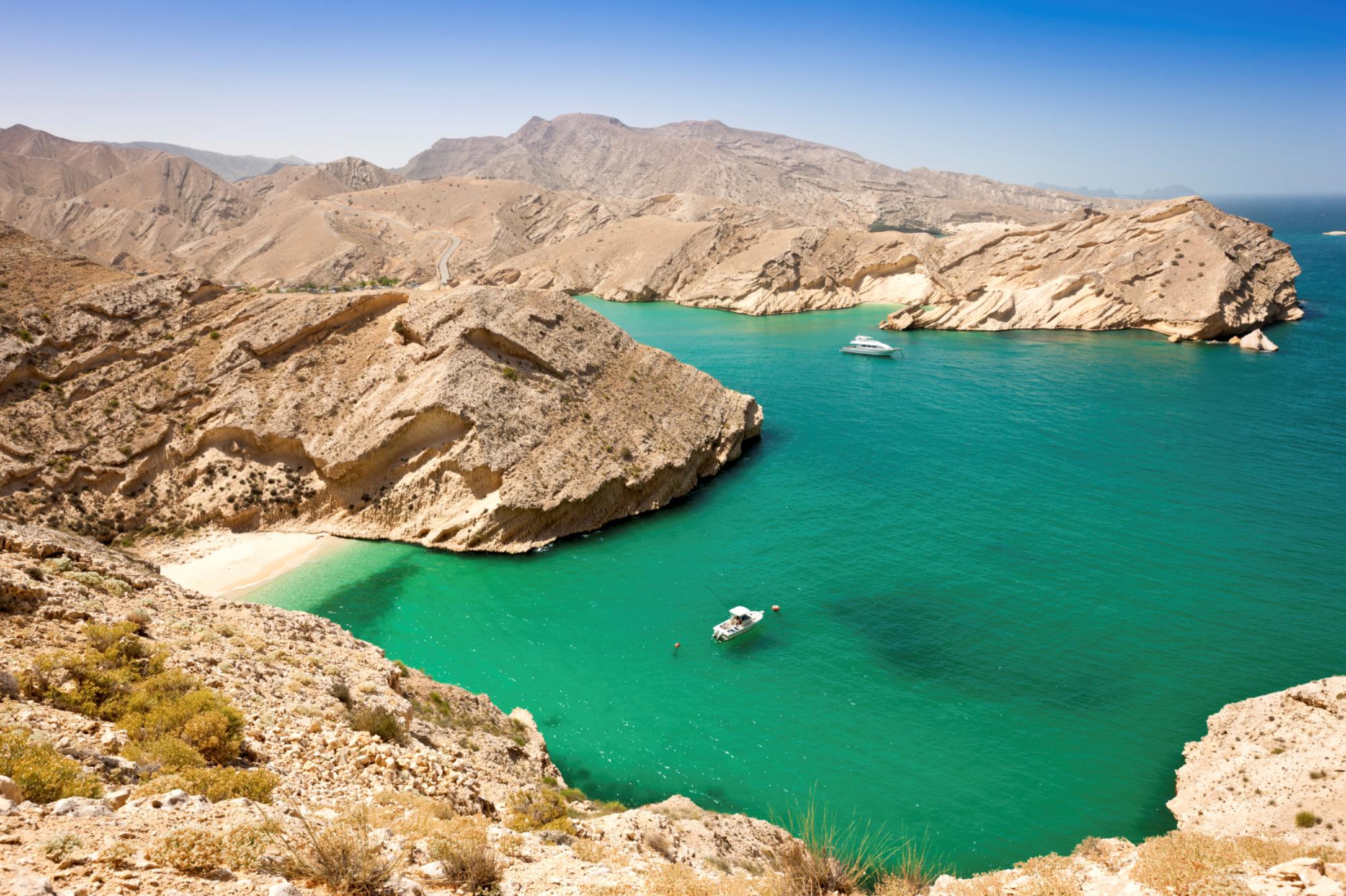
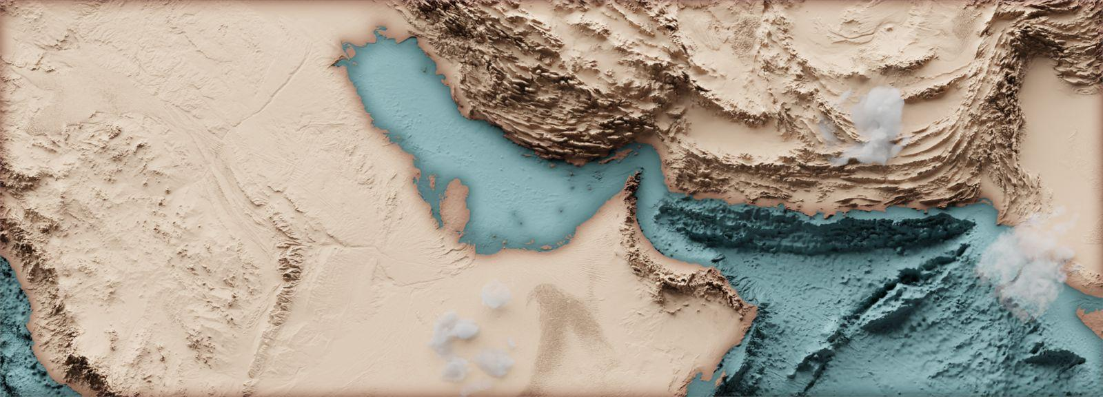
In the heart of the Arabian Peninsula lies one of the world’s most vital, yet vulnerable, marine environments: the ROPME Sea Area (RSA). Encompassing the semi-enclosed waters of the Persian Gulf, the Gulf of Oman, and the Strait of Hormuz, the RSA is a region of immense economic importance and breathtaking ecological diversity. It is also under constant pressure from rapid coastal development, intense maritime traffic, extreme natural conditions, and the enduring legacy of pollution.
For over four decades, a unique and ambitious scientific mission has been quietly underway to safeguard this precious resource: the ROPME Marine Cruises. These coordinated expeditions represent a powerful testament to regional cooperation, producing the critical data needed to understand, protect, and manage the shared marine environment of the eight member states: Bahrain, Iran, Iraq, Kuwait, Oman, Qatar, Saudi Arabia, and the United Arab Emirates.
The Mandate for Cooperation: Why the ROPME Cruises Began
The story of the ROPME cruises is inextricably linked to the formation of the Regional Organization for the Protection of the Marine Environment (ROPME) itself. Established in 1979 by the very same eight member states, ROPME’s founding vision was based on a simple, undeniable truth: marine pollution does not respect national borders. A spill in one nation’s waters can easily affect the coastlines and fisheries of its neighbors.
This realization led to the Kuwait Regional Convention for Co-operation on the Protection of the Marine Environment from Pollution. The convention mandated the creation of a Marine Emergency Mutual Aid Centre (MEMAC) and, crucially, a comprehensive science program. The ROPME cruises were conceived as the primary tool for fulfilling this scientific mandate—to conduct a coordinated, region-wide assessment of the marine environment’s health.
Their core objectives were, and remain:
- Establish Baseline Conditions: To create a definitive snapshot of the RSA’s health against which future change could be measured.
- Monitor Pollution: To assess the levels and distribution of pollutants, including petroleum hydrocarbons, heavy metals, and nutrients, throughout the water column, sediments, and marine life.
- Understand Oceanographic Processes: To study the unique physical, chemical, and biological oceanography of the RSA, characterized by high salinity, extreme temperatures, and complex circulation patterns.
- Provide Data for Policy: To generate robust, comparable scientific data to inform environmental policy, guide resource management, and support international reporting obligations.
A Symphony of Science: The Work Onboard
A ROPME cruise is a monumental exercise in logistics and scientific precision. Research vessels from member states, often accompanied by international scientific partners, embark on predetermined transects across the RSA. The work is conducted 24/7, with teams of scientists working in shifts.
The research conducted onboard is comprehensive and multidisciplinary:
- Water Column Profiling: CTD (Conductivity, Temperature, Depth) rosettes are lowered into the sea, measuring fundamental properties and collecting water samples from various depths for detailed chemical analysis.
- Pollutant Tracking: Scientists analyze water and sediment samples for a suite of contaminants. A primary focus has always been on Total Petroleum Hydrocarbons (TPH), given the region’s dominance in oil production and shipping. Samples are also tested for trace metals like mercury, lead, and cadmium, and nutrient loads that can cause eutrophication.
- Sediment Core Sampling: The seabed acts as a historical archive of pollution. Core samples are taken to understand the accumulation of contaminants over time and to assess the health of benthic (seafloor) communities.
- Biological Monitoring: The cruises study phytoplankton and zooplankton (the base of the marine food web) and collect samples of biota like fish, shrimp, and mollusks. Bivalves, such as oysters and clams, are particularly important as they are “bio-indicators”—they filter water and accumulate pollutants in their tissues, providing a time-integrated measure of ecosystem health.
- Oceanographic Studies: Currents, tides, and wave data are collected to model the circulation patterns that dictate how pollutants are dispersed throughout the region.
Evolution and Key Milestones
The ROPME cruise program has evolved through distinct phases, each building on the last:
- The Pioneering Phase (1980s – 1990s): The initial series of cruises (e.g., the Oceanographer I and II missions) were foundational. They faced immense challenges in standardizing methodologies across different national teams but succeeded in creating the first-ever regional baseline. The catastrophic 1991 Gulf War oil spill starkly highlighted the program’s importance, as post-war cruises were critical in assessing the immense environmental damage and guiding recovery efforts.
- The Modernization Phase (2000s – Present): Subsequent cruises have leveraged advanced technology. Satellite data, autonomous underwater vehicles (AUVs), and sophisticated chemical analysis techniques have greatly enhanced the resolution and accuracy of the data collected. The focus has also expanded to include emerging threats like marine debris (plastics) and climate change impacts, including ocean acidification and warming sea temperatures.
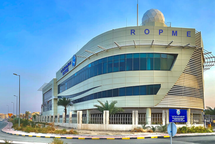
- The Integrated Phase (Ongoing): Today, the cruises are part of a larger integrated monitoring program. Data is fed into the ROPME Marine Emergency Mutual Aid Centre (MEMAC) for spill response and is used to produce State of the Marine Environment Reports (SOMER), which provide a comprehensive health check of the RSA for policymakers.
Challenges and Lasting Impact
Organizing such a complex multinational effort is not without difficulty. Challenges include aligning schedules and resources of eight nations, securing consistent funding, ensuring strict quality control across all teams, and navigating the geopolitical complexities of the region. The mere fact that these cruises have continued for so long is a triumph of diplomacy and a shared commitment to a common goal.
The impact of the ROPME cruise program is profound:
- Informed Environmental Management: Their data directly influences national regulations on wastewater discharge, ballast water management, and coastal zone development.
- Preparedness and Response: The understanding of ocean currents and baseline pollution levels is invaluable for modeling oil spill trajectories and coordinating regional response efforts.
- Scientific Legacy: The program has created an unparalleled, multi-decadal dataset that is invaluable for scientists studying long-term trends, the impacts of climate change, and the effectiveness of conservation measures.
- A Model for Cooperation: The ROPME cruises stand as a shining example of how science can transcend politics, fostering dialogue and collaboration for the management of a shared global commons.
Conclusion: Navigating the Future
The ROPME Sea Area remains at a crossroads. The pressures of industrialization, population growth, and climate change are intensifying. The work of the ROPME marine cruises has never been more critical. They are the diagnostic tool that allows the member states to understand the health of their patient—the marine ecosystem.
As the program looks to the future, it must continue to adapt, integrating new technologies and addressing new threats. The long-term data series it has established is its most valuable asset, providing the evidence needed to steer the RSA towards a sustainable future. The ROPME cruises are more than just scientific expeditions; they are a continuous voyage of discovery, cooperation, and stewardship for one of the world’s most extraordinary seas.